Atlantic Tropical Outlook

Pacific Tropical Outlook
Current US IR Satellite Loop

Atlantic/Gulf of Mexico/Caribbean
000
ABNT20 KNHC 181717
TWOAT

Tropical Weather Outlook
NWS National Hurricane Center Miami FL
200 PM EDT Mon May 18 2026

For the North Atlantic...Caribbean Sea and the Gulf of America:

Tropical cyclone formation is not expected during the next 7 days.

$$
Forecaster Papin
No tropical cyclones as of Mon, 18 May 2026 18:05:35 GMT
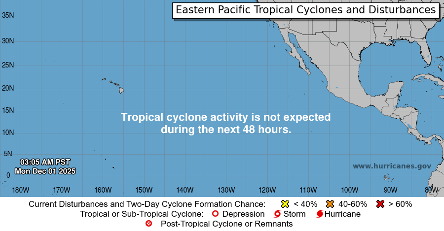
Eastern Pacific
000
ABPZ20 KNHC 181714
TWOEP

Tropical Weather Outlook
NWS National Hurricane Center Miami FL
1100 AM PDT Mon May 18 2026

For the eastern and central North Pacific east of 180 longitude:

Tropical cyclone formation is not expected during the next 7 days.

$$
Forecaster Hagen
No tropical cyclones as of Mon, 18 May 2026 18:05:35 GMT